Grade
HillyDistance
1.5 kmWalking
1 hourCycling
2 - 3 hoursRiverside Road - Mātokitoki Valley - Valley Road circuit is 20 km circuit, 2-3 hours duration. "There and back" off-road track is 1.5 km; walk, 1 hour.
Mātokitoki Valley Track slip
There is a small slip across the track on the Mātokitoki Valley side of the track. It is easy to walk across, and you can walk your bike across it, although this is awkward with the tree branches.
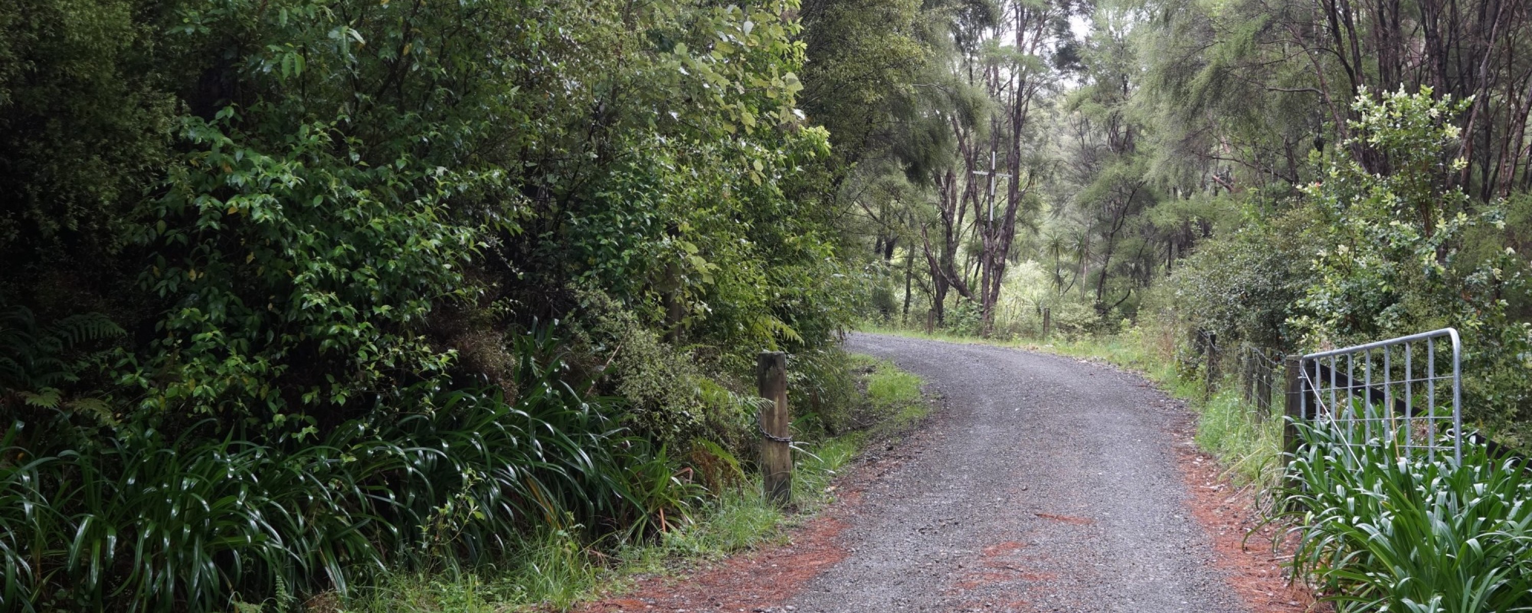
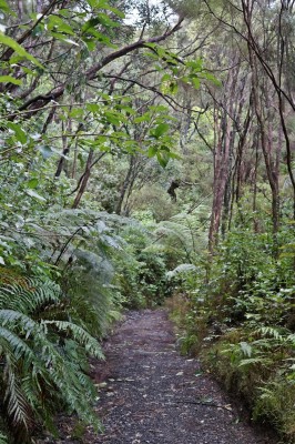
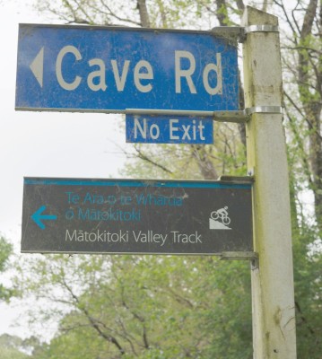
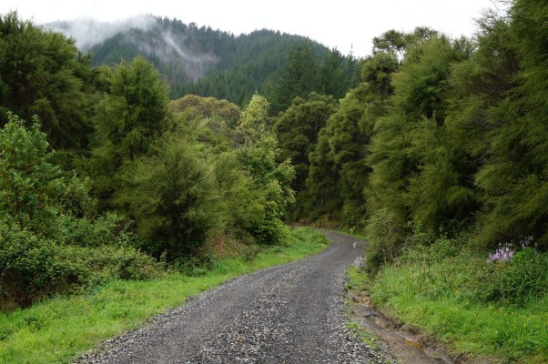
Te Ara o te Whārua o Mātokitoki (Mātokitoki Valley Track) connects Mātokitoki Valley with Riverside Road, via Cave Road. The compacted gravel trail follows an unformed legal road through regenerating kānuka forest. Watch out for steep sections with tight corners when riding downhill from the top of Cave Road towards Mātokitoki Valley Road.
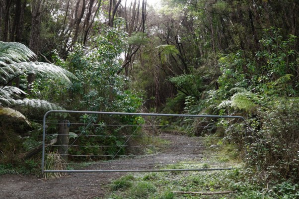
Wayfinding signs will be installed on the off-road segment of this trail before long but, in the interim to follow the route, the Cave Road entrance to the trail is through the gate with the "close the gate" sign at the top of the formed part of Cave Road. Once through this gate, follow the track and veer left to follow a narrow uphill trail after 200m. One other gate on the trail needs to be opened and closed.
When starting the trail from the Mātokitoki Valley Road end, go to the end of Mātokitoki Valley Road, approximately 5km from Valley Road. The last 100m is a gravel road. You will see a "private road" sign straight ahead, while on the left is a rough parking area and bollards (to exclude vehicles) which indicate the trail entrance.


Trail fly-through
History of the trail
The Mātokitoki Valley track was formed in 1955 after an exceptionally wet period that saw a large Riverside Road slip cut off access to a dozen families.
For several months, upper Riverside Road residents used this route via Mātokitoki Valley to bypass the slip and drive to town. Once Riverside Road was repaired and saplings were planted to stabilise the slip, the Mātokitoki Valley track was abandoned and managed as part of the adjacent properties.
For decades, this dirt track within regenerating kānuka forest was used by Gisborne Harriers, the tramping club, and mountain bikers. However, access was awkward until 2015 when Gisborne District Council reached an agreement with adjacent landowners that the gates across the old road would remain unlocked. In 2021, Gisborne District Council contractors formed a compacted gravel track along the route, using road millings obtained from their road maintenance programme, for the surface material.
Tips & Logistics
From the car park at the end of Mātokitoki Valley Road along the Mātokitoki Valley Track, then along Cave Road to Riverside Road, and back again is a distance of about 7 km, a walk of about two hours. Cave Road is a quiet back country road and pleasant walking.
The "there and back" walk along the Mātokitoki Valley Track alone is just 3 km, a walk of about one hour.
The 20 km circuit encompassing Riverside Road, Cave Road, Te Ara o te Whārua o Mātokitoki, Mātokitoki Valley Road, and Valley Road, is a good workout for people cycling, with several hills and good views.