Grade
HillyDistance
25 kmCycling
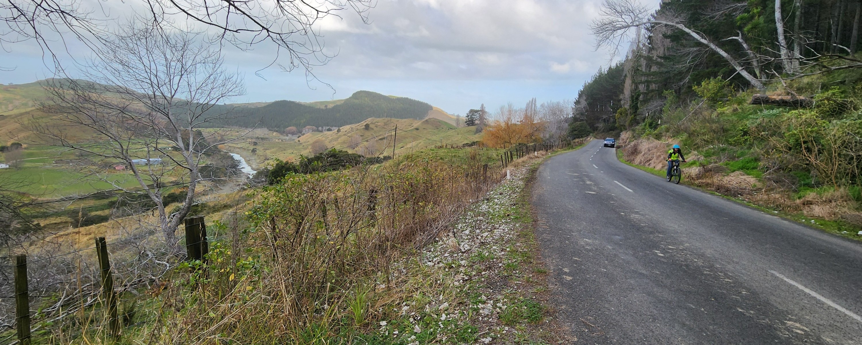
2 hoursThis hilly route is popular with recreational and competitive cyclists alike as it follows the lower reaches of the Waimatā River, through suburban housing and lifestyle blocks and past Waimatā Cheese Factory to emerge into rural countryside.
Gisborne Cycling Club uses the Riverside Road and Goodwin Road route as a club competition ride.

History of the trail
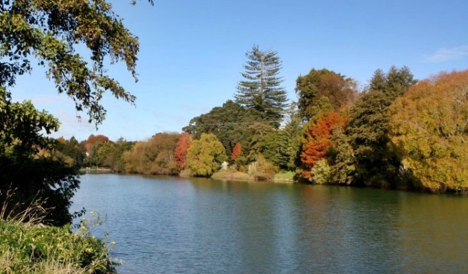
The Tūranganui River and the Waimatā River that flows into it, form the south-westernmost extent of the Ngāti Porou tribal boundary, at Tūranga (Gisborne). Successive generations of Ngāti Porou have occupied and used the land adjacent to the rivers on the eastern banks. The Waimatā River is also part of the eastern tribal boundary for Rongowhakaata. The traditions of Rongowhakaata confirm the cultural, historical and spiritual importance of the Waimatā River to Rongowhakaata.
The meaning of Waimatā relates to obsidian-coloured waters, darkish in nature and colour. The lower reaches of the Waimatā flow from the ranges of the sacred maunga Motukeo to join at the junction of the Tūranganui and Taruheru rivers known as Nga wai wehe rua or Waiweherua (dividing into two branches). The Tūranganui and the Waimatā rivers have over time been a source of fish, shellfish and other sustenance for the resident hapū. They have provided a means of access to places along their banks and into the interior. They were also a base for trading and commerce. From Nga-Whakaaetanga-a-Ture-mo-te-Tairawhiti-Statutory-Acknowledgements-of-the Gisborne District.
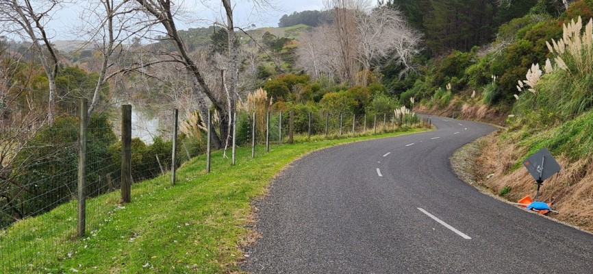
Riverside Road has a history of being unstable and prone to landslides. The Gisborne Photo News, No 14: August 25, 1955 has a photo essay, “Giant Slips Destroy Road and Rail Links”, about several large slips in the region after an exceptionally wet period. “One of the largest was only three miles from Gisborne, on Riverside Road adjacent to the Waimatā River. Here, over a quarter-mile of roadway giving access to a dozen families was destroyed so completely that in the meantime no effort is being made to repair the damage. Instead, an alternative route is being opened.”
Riverside Road had only recently been tar-sealed when this slip occurred in 1955. The earth flow travelled right across the Waimatā River forming a dam, which backed up and flooded the flats upstream briefly before the river broke through, cutting a new channel.
The alternative route being opened was the Mātokitoki Valley track, formed at that time for cars and used for several months by upper Riverside Road residents to bypass the big slip and drive to town. Later, when Riverside Road was rebuilt across the slip, which you cycle over to climb up towards Goodwin Road, silver poplars were planted over the hill slope in an attempt to stabilise the land.
Tips & Logistics
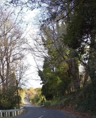
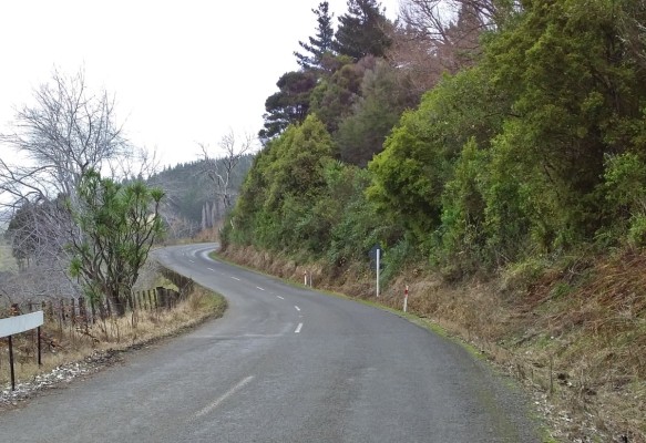
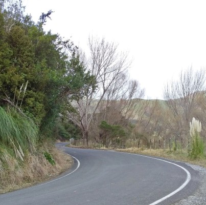
Riverside and Goodwin Roads are sealed but watch out for potholes. The roads are narrow and winding and although log trucks are not currently using these roads, be aware of rural trucks and other vehicles. Cycle as far to the left as is practical. There are four places where the road has dropped out on the downhill side, creating sections of one lane road.