Grade
HillyDistance
56 kmCycling
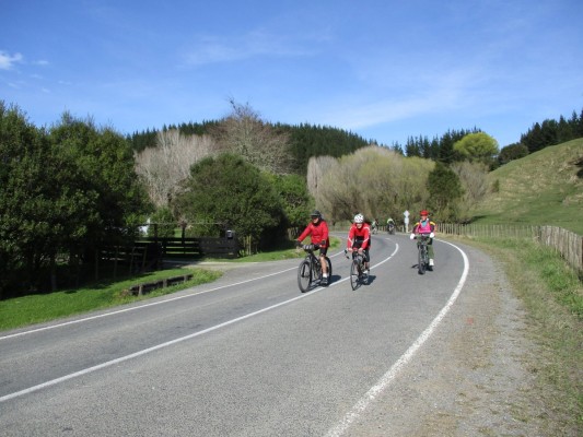
2.5 hoursStarting in Mangapapa, Gisborne, this 56km road cycle takes in the mid-reaches of the Waimatā River and its tributaries as it winds its way along Waimatā Valley Road.
From Back Ormond Road, turn right onto Waimatā Valley Road just before Gray's Bush Scenic Reserve. This is a hilly ride on a sealed road, except for local sections under repair. Gisborne Cycling Club facebook link
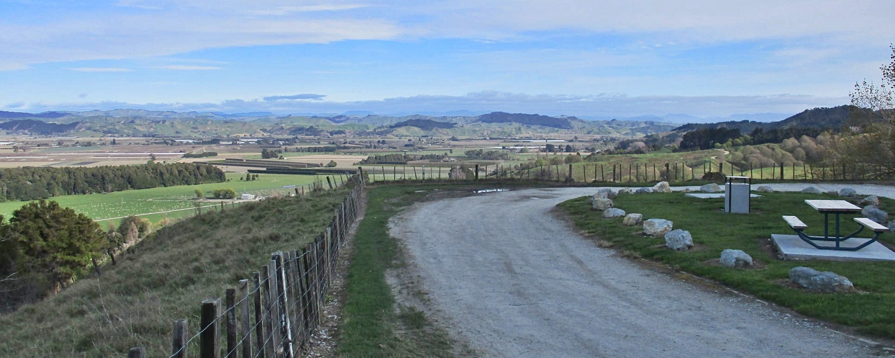
The first and highest climb (140m) is from the flats up to Gray's Hill Lookout, where a spectacular view of Tūranganui a Kiwa awaits. This lookout is an excellent place for star gazing, on a clear night with no moon, being away from the lights of Gisborne city.
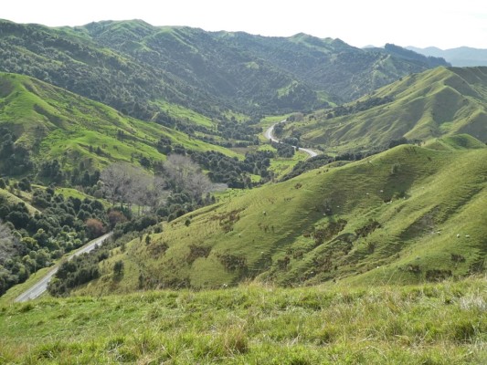
Inland from the lookout, the road drops down into the catchment of Swell Stream, a tributary of the Waimatā. The river itself meets the road about 6km after the lookout. In its lower reaches, the Waimatā River follows Mander Road and Riverside Road, rather than Waimatā Valley Road, before joining the Tūranganui River near Gisborne Harbour.
Turn around after riding another 6km to Waimatā Valley School, which closed in January 2010 after 113 years serving the community.
Tips & Logistics
Waimatā Valley Road is not a busy road but is used by log trucks and farm transport. Be aware of trucks as well as potholes.