
Grade
VariousDistance
12.4 kmWalking
VariousCycling
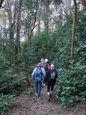
20 MTB trailsWalking on some trails.
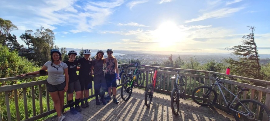
Whataupoko Reserve and Mountain Bike Park located on the hill end of Fox Street encloses the largest mountain bike park in Gisborne. It caters for mountain bikers of various abilities and skills with multiple trails of various grades. Some downhill trails are dedicated to mountain bike riders only but there are also many shared trails for both walkers and mountain bikers.
The Gisborne Mountain Bike Club maintains the trails and a trail counter, while local businesses support specific trails, which display their names. Trail maps are located at three locations within the park, with a copy of the map below, and also through the trailforks app or website, although this may not be fully up to date.


Trail maps
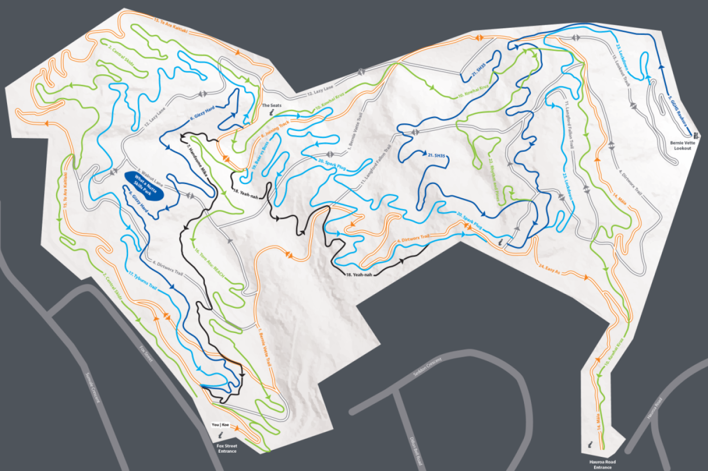
Download the Whataupoko Reserve trails map in PDF format here
History of the trail
The Whataupoko Reserve was developed in 2001 after Gisborne District Council bought the land in 1992. The reserve was then planted in exotic trees, which are now well-established. Volunteers developed the trails in 2003 as shared trails for mountain biking and walking. Today, the park has 20 trails adding up to 12.4 kilometres of trails and 725m of climbs, the highest point being 119m elevation.
The Gisborne Mountain Bike Club holds events at the reserve during the year and club membership allows access to other forestry blocks through a club access permit.
To contact the club, go to their facebook page.
Getting there
From Ormond Road, go up Fox Street until near the end on the right. Some parking is available.